“And if these mountains had eyes, they would wake to find two strangers in their fences, standing in admiration as a breathing red pours its tinge upon earth’s shore. These mountains, which have seen untold sunrises, long to thunder praise but stand reverent, silent so that man’s weak praise should be given God’s attention.” (Donald Miller)

 The Kocierska Pass is the lowest point in the whole main ridge of the
Little Beskid. A daring and picturesque road, which connects Andrychów
with Żywiec, runs through the pass. The Kocierska Pass is a great
starting point for hiking and biking – westwards, we can roam even Żar,
and eastwards towards Łamana Skała (Broken Rock) and Leskowiec. On the
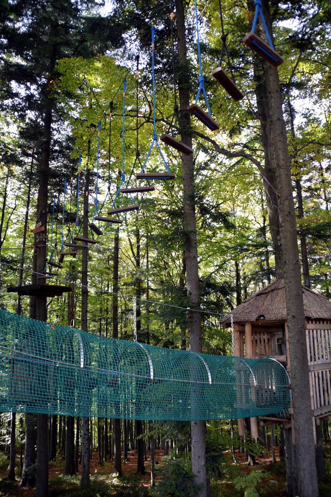
way we can rest in the conference and recreation centre "Kocierz".
The Kocierska Pass is the lowest point in the whole main ridge of the
Little Beskid. A daring and picturesque road, which connects Andrychów
with Żywiec, runs through the pass. The Kocierska Pass is a great
starting point for hiking and biking – westwards, we can roam even Żar,
and eastwards towards Łamana Skała (Broken Rock) and Leskowiec. On the
way we can rest in the conference and recreation centre "Kocierz".


 “When the wind calls, you know, that somewhere in the mountains, it has
found the answers that you were looking for. The pull of the horizon
overcomes the inertia of reason…And you just have to go.” (Vikram Oberoi)
“When the wind calls, you know, that somewhere in the mountains, it has
found the answers that you were looking for. The pull of the horizon
overcomes the inertia of reason…And you just have to go.” (Vikram Oberoi)


 “A lone peak of high point is a natural focal point in the landscape,
something by which both travelers and local orient themselves. In the
continuum of landscape, mountains are discontinuity – culminating in
high points, natural barriers, unearthly earth.” (Rebecca Solnit)
“A lone peak of high point is a natural focal point in the landscape,
something by which both travelers and local orient themselves. In the
continuum of landscape, mountains are discontinuity – culminating in
high points, natural barriers, unearthly earth.” (Rebecca Solnit)


 “Study how water flows in a valley stream, smoothly and freely between the rocks. Also learn from holy books and wise people. Everything – even mountains, rivers, plants and trees – should be your teacher.” (Morihei Ueshiba)

 “This mountain, the arched back of the earth risen before us, it made me feel humble, like a beggar, just lucky to be here at all, even briefly.” (Bridget Asher)

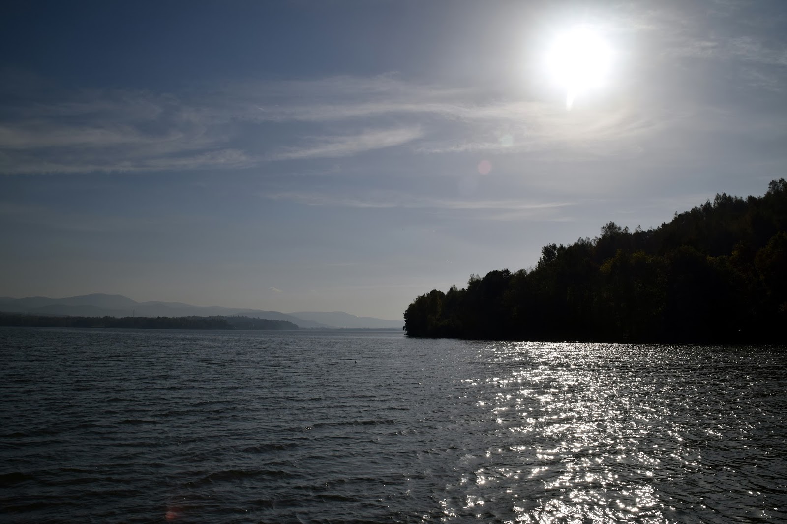
 Żywiec Lake was created by the damming of the Soła river in the 60s of
the last century whose valley was divided by a dam. The southern end of
the lake, located within the Żywiecka Valley, almost reaches the area of
downtown Żywiec. The northern part of the lake (in the vicinity of the
dam) occupies a narrow valley, cutting into the slopes of the Little
Beskids. The Żywiec reservoir is used for producing energy, flood
control and tourism and recreation.
Żywiec Lake was created by the damming of the Soła river in the 60s of
the last century whose valley was divided by a dam. The southern end of
the lake, located within the Żywiecka Valley, almost reaches the area of
downtown Żywiec. The northern part of the lake (in the vicinity of the
dam) occupies a narrow valley, cutting into the slopes of the Little
Beskids. The Żywiec reservoir is used for producing energy, flood
control and tourism and recreation.


Żar is a mountain in the mountain range of Little Beskids in southern Poland, 761 m above the sea level.
Below the mountain is an artificial lake (the Międzybrodzkie lake) that was created by damming the Soła river. The elevation of the lake is 318 metres (1,043 ft) above sea level.


Dam In Tresna
 Lake Żywieckie (Żywiecki Water Reservoir, Water Reservoir Tresna) –
reservoir for Sole near Zywiec, located on the border of Żywiecka Valley
and Beskid Maly. The creation of the 1966 r. reservoir dam caused
flooding villages, m.in. Transriver, Tresnej, Zadziela and Old Cattle.
Lake Żywieckie (Żywiecki Water Reservoir, Water Reservoir Tresna) –
reservoir for Sole near Zywiec, located on the border of Żywiecka Valley
and Beskid Maly. The creation of the 1966 r. reservoir dam caused
flooding villages, m.in. Transriver, Tresnej, Zadziela and Old Cattle.
Basic morphometric parameters of the reservoir are as follows Żywiecki:
total capacity: 94,60 mln m3, dead volume of the tank: 3,2 mln m3, The
compensatory capacity: 67,7 mln m3, flood capacity has: 23,1 mln m3,
maximum impoundment: 344,86 m n.p.m., normal level of damming: 342,56 m
n.p.m., minimum level of damming: 320,94 m n.p.m. At normal maximum
length of the impoundment of the reservoir is 6,6 km, the average length
of the tank: 6,25 km, length of shoreline ? 33,7 km, the maximum width
of the tank: 3,1 km, the width of the tank in the central part: 2,5 km,
and the width of the standard: 1,51 km. The reservoir has a maximum
depth 26,8 m, and the average depth is 8,6 m. Tank Żywiecki was created
by damming the river Soła earth dam. Its length is 310 m, height 39 m
above the bottom of the valley, and was built in 41,9 km of the river
(the catchment area Soła the firewall profile is Tresna 1036,6 km2).
At the height of the dam 38 m is a hydroelectric power station with a
capacity of 21 MW. Now (2010) reservoir is used for tourism, for
electricity production, for flood control and to regulate the flow of
the upper Vistula.


 Skrzyczne (1257 m AMSL)
The highest peak in the mountains of Beskid Śląski which can be reached,
for example, by the blue trail from Lipowa Ostre through the Jaskowa
Pasture. The Skrzyczne PTTK mountain lodge is located on the top and
thus is the highest placed lodge in Beskid Śląski. One can also reach
the peak by chairlift.


Babia Góra – the Queen of the Beskid Mountains


 Babia Góra [ˈbabja ˈɡura] (in Polish), or Babia hora (in Slovak), literally Old Wives' or Witches' Mountain, is a massif situated on the border between Poland and Slovakia in the Western Beskidy Mountains.
The name is also applied to the culmination of the massif, Diablak
("Devil's Peak"), which is also the highest peak of this part of the Carpathian Mountains, at 1,725 metres (5,659 ft) above sea level.
Babia Góra [ˈbabja ˈɡura] (in Polish), or Babia hora (in Slovak), literally Old Wives' or Witches' Mountain, is a massif situated on the border between Poland and Slovakia in the Western Beskidy Mountains.
The name is also applied to the culmination of the massif, Diablak
("Devil's Peak"), which is also the highest peak of this part of the Carpathian Mountains, at 1,725 metres (5,659 ft) above sea level.


No comments:
Post a Comment